


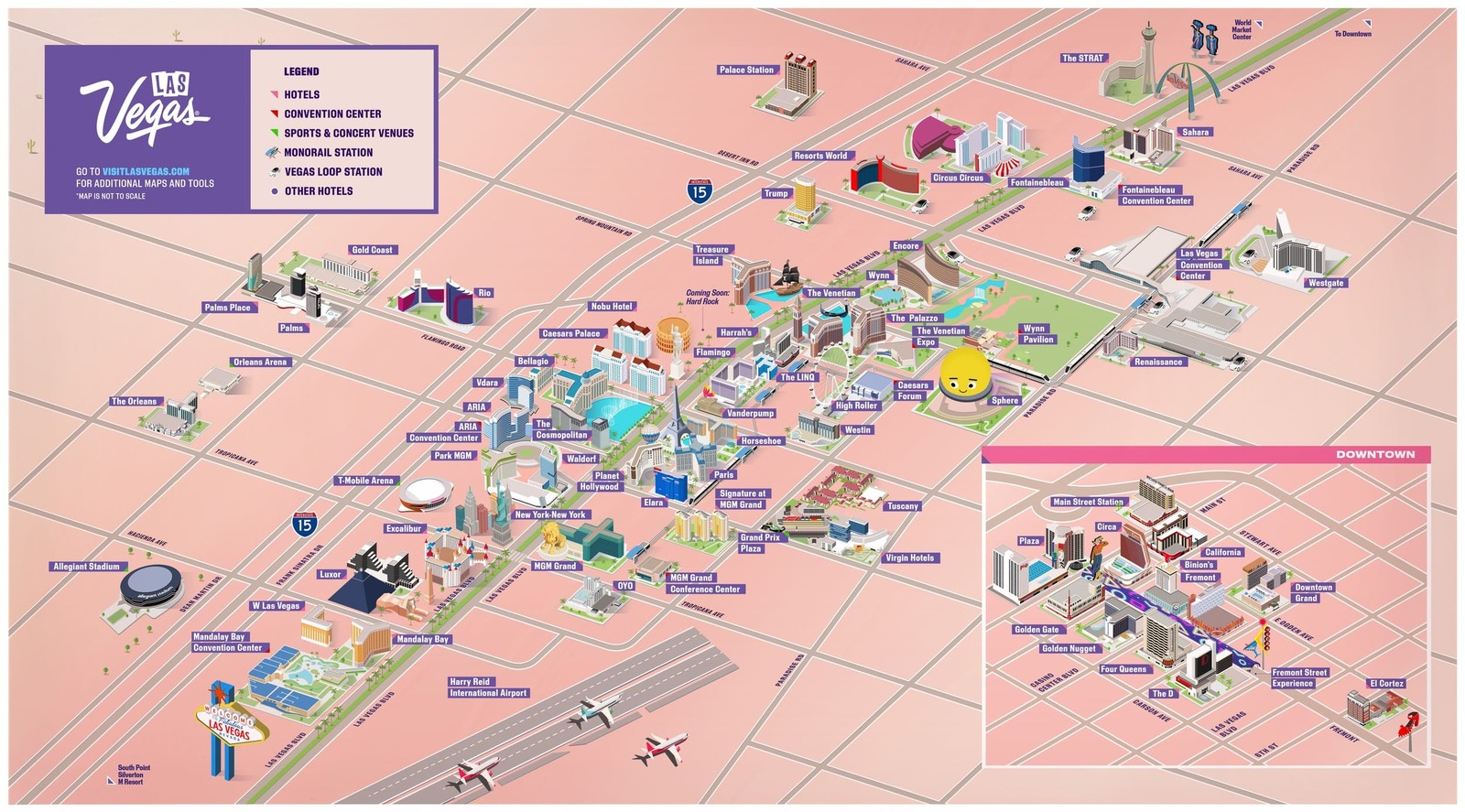
Las Vegas Maps & Getting Around
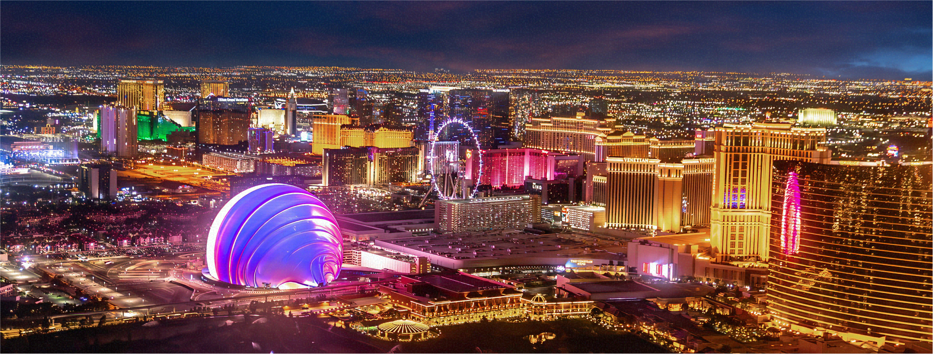
The Strip & Downtown
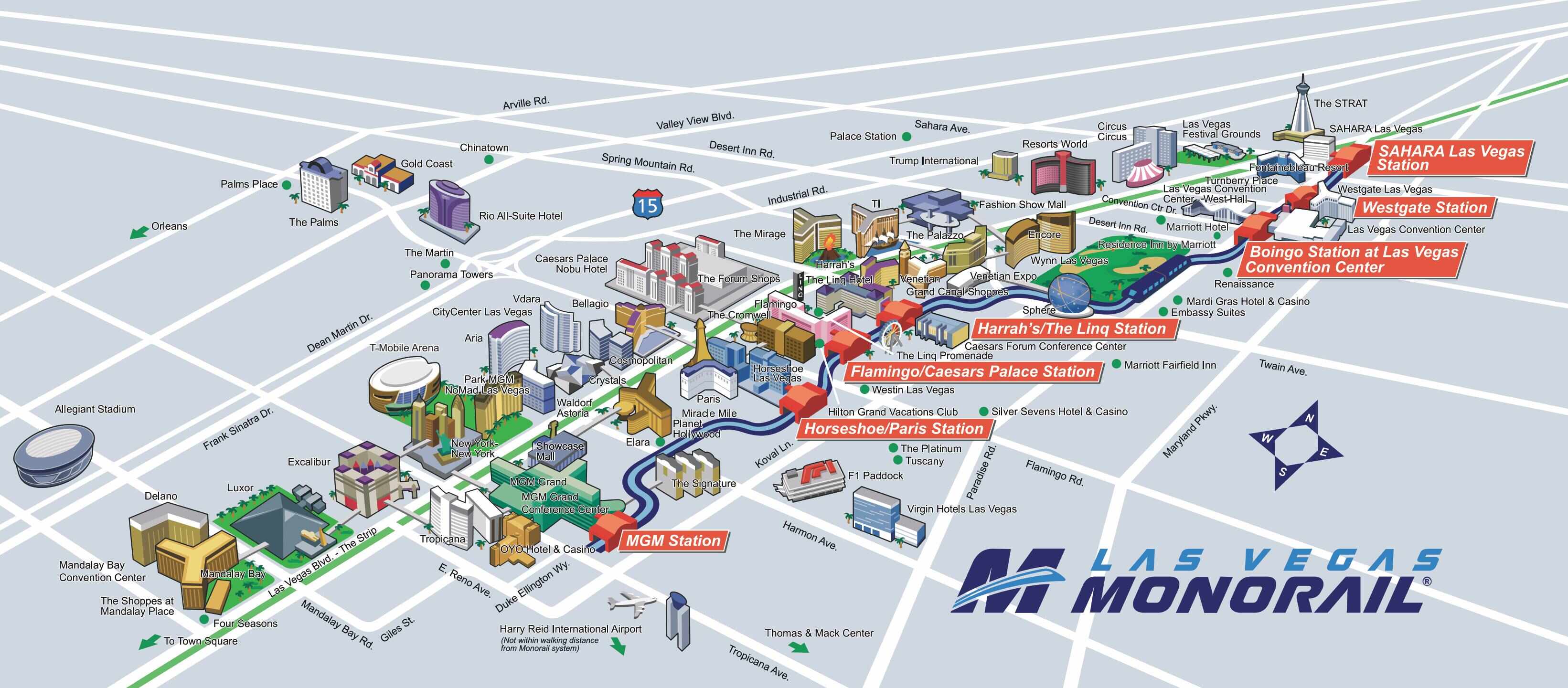
Las Vegas Monorail
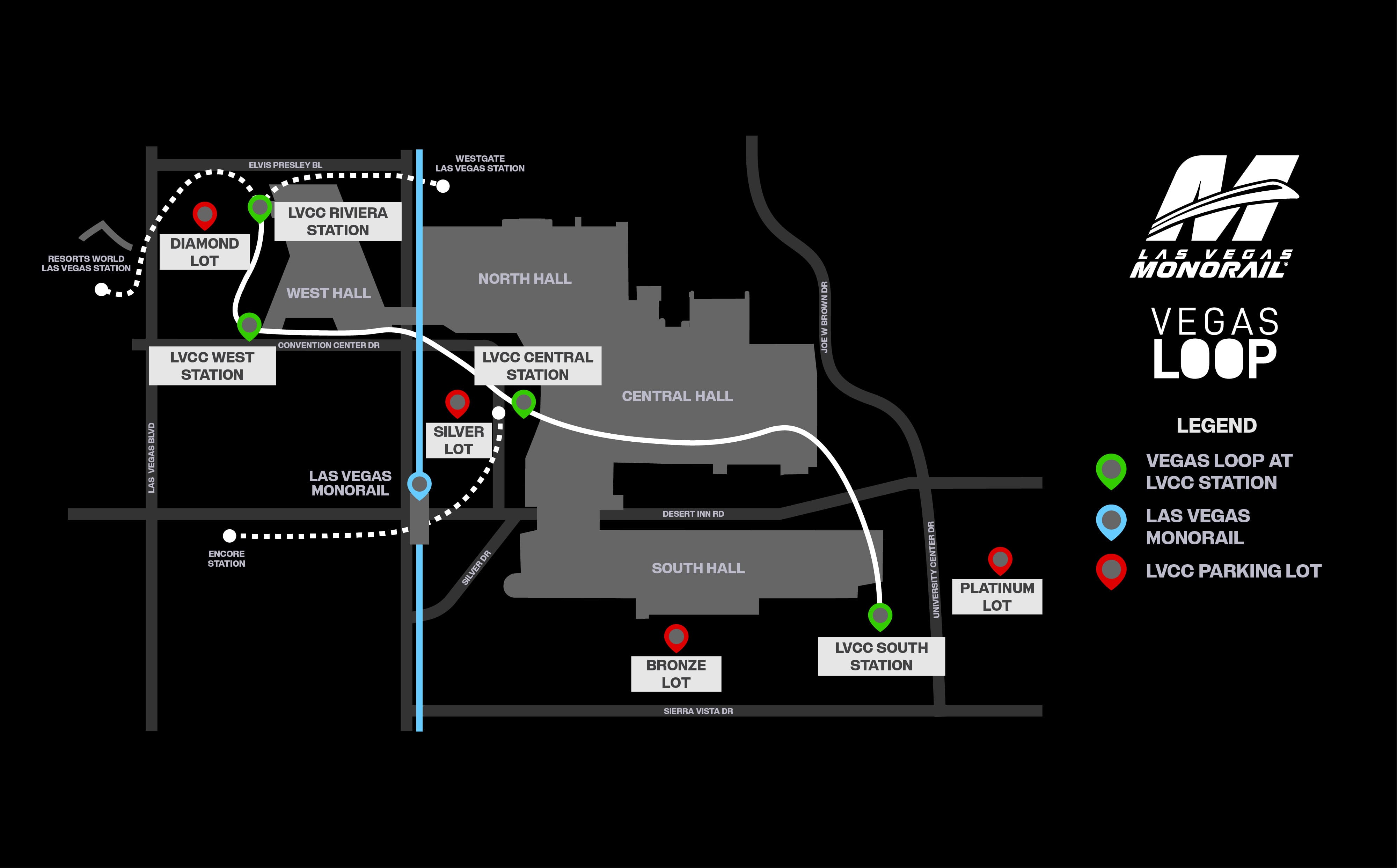
Vegas Loop at LVCC

View Map
Harry Reid International Airport

View Map
Fremont Street Experience

View Map
RTC Bus Routes

View Map
Downtown Loop Route

View Map
Las Vegas Convention Center

View Map